下载App
资质规则
旅行
账户

703BillB703
Where the park trails and railroad coincide in Woodstock
Patapsco Valley State Park的点评
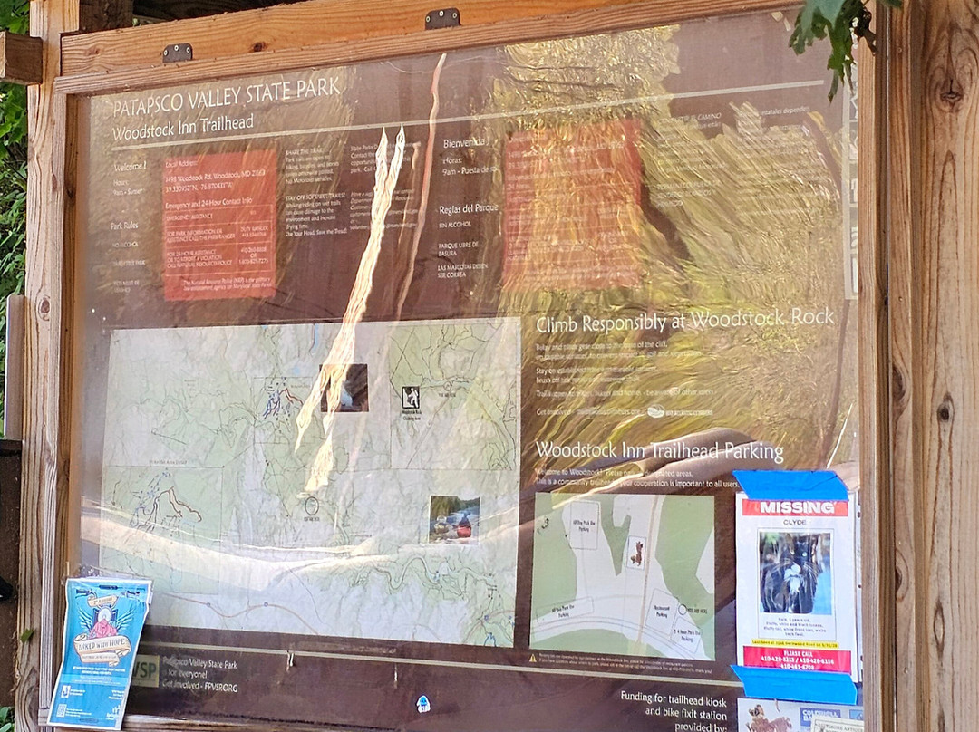
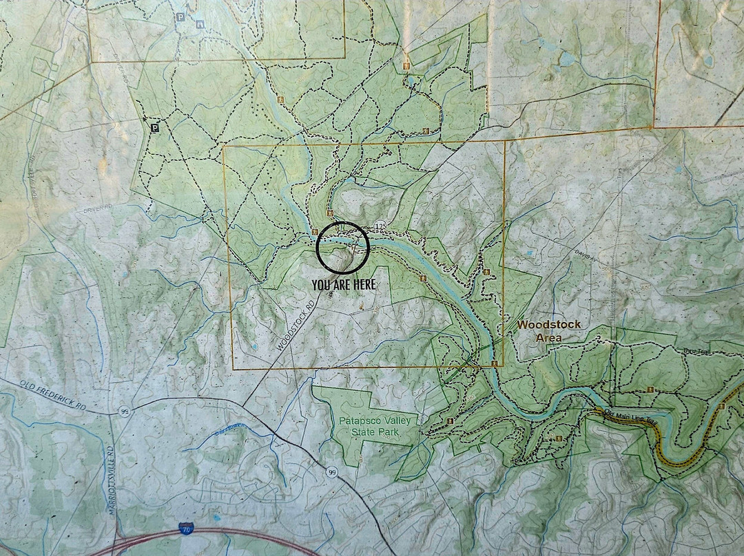
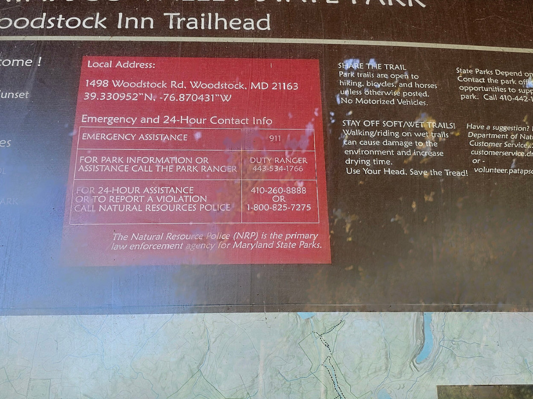
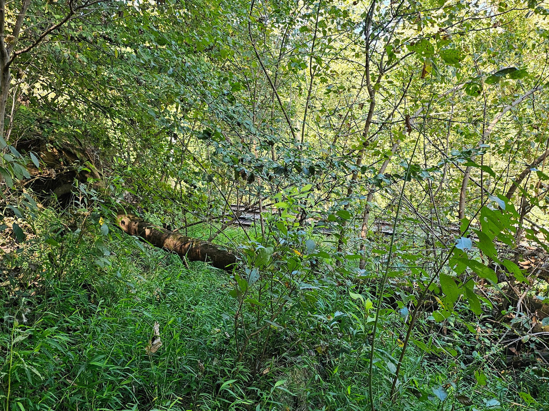
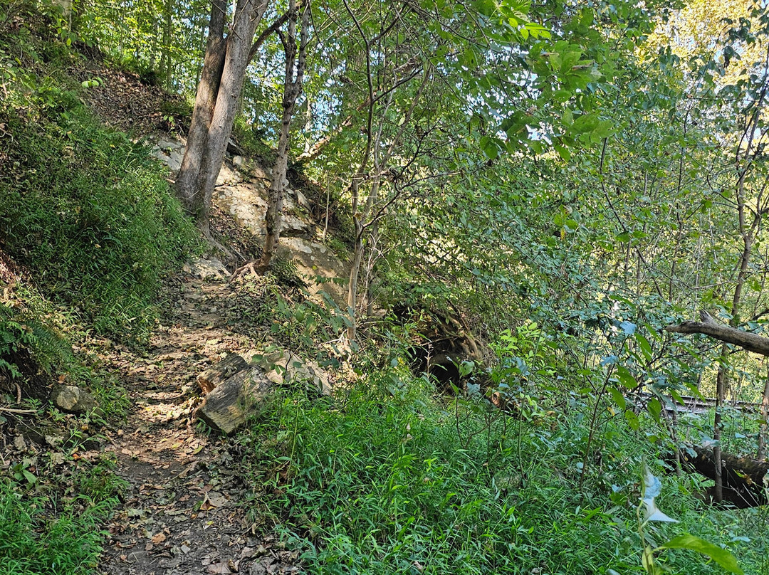
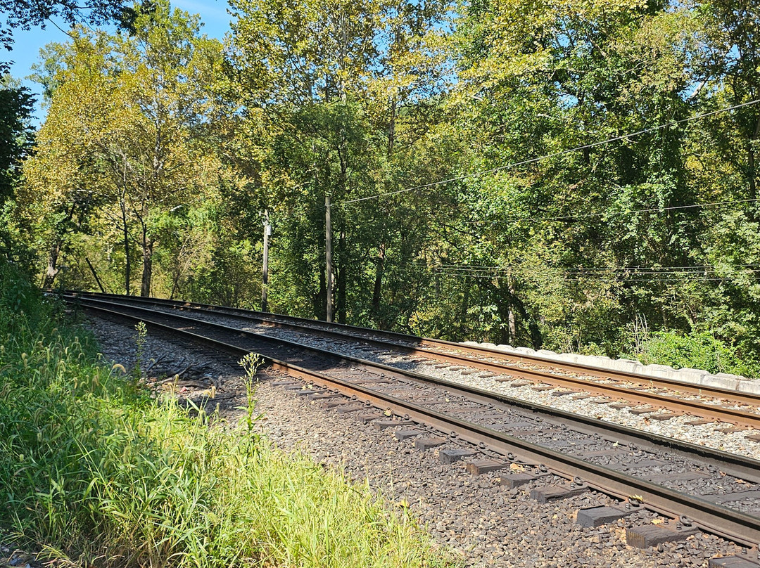
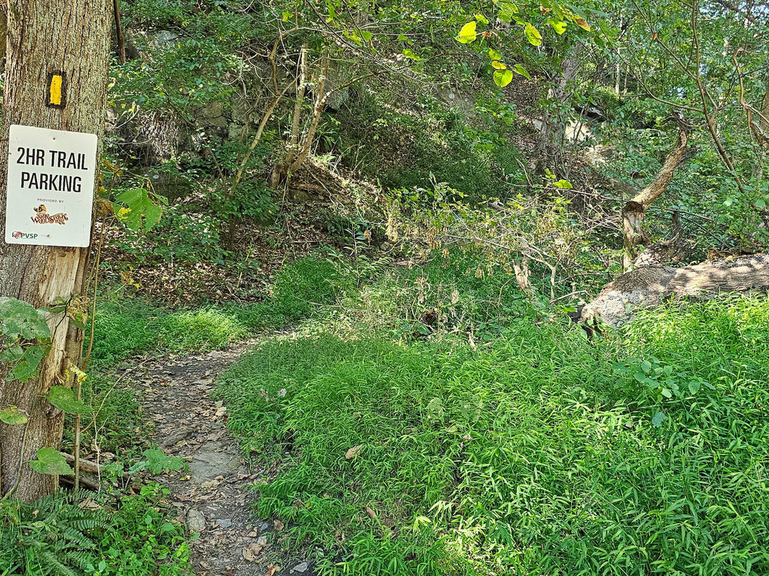
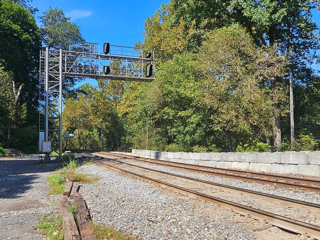
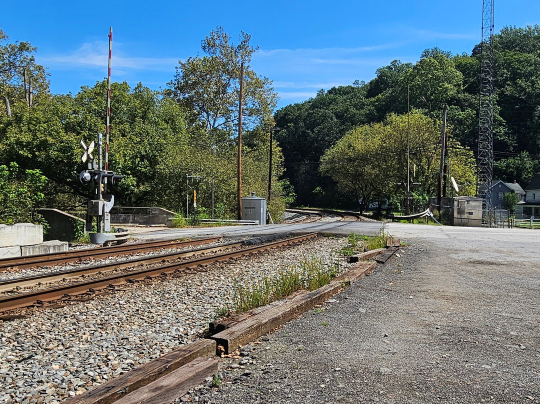
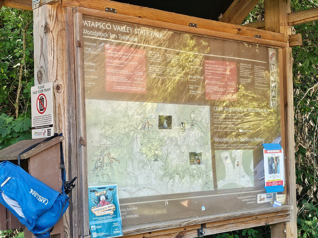
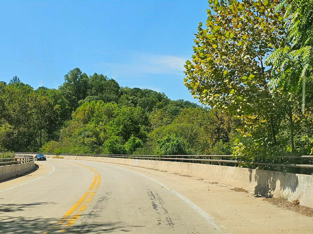
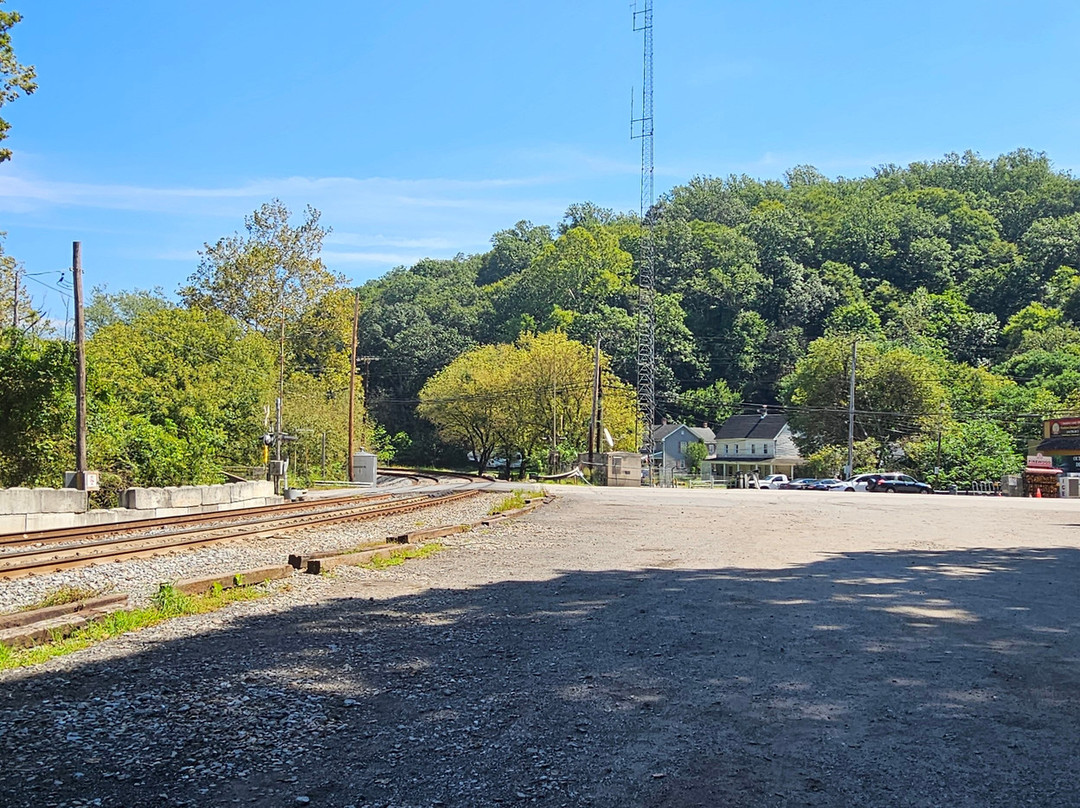
点评:Since both the state part and the train hug the Patapsco River, it's inevitable that these would coincide often. One such place is the Woodstock Trail Head, variously known as the Thru Trail, the Woodstock Area, Woodstock Rock Trailhead, and Woodstock Station Trailhead. One finds parking along the tracks after crossing to the south side of the river where Old Court Road becomes Woodstock Road. One can walk back across the bridge to join the Thru Trail. Although there is an access road on that side, it is unfortunately gated with nowhere to park. On the Woodstock side are trails leading on to the Daniels Area toward the southeast and toward the rocks on the northwest. Cell phone and internet access (and thus map access) is very limited to non-existent, so it is safer to take these trails together with other people. I took a pucture of the map on the notice board to help with navigation sans internet. Since the CSX trains are still using the route out of Baltimore, one can sometimes see train passing though I was not so lucky today.
翻译:由于州立公园与铁路都沿着帕塔普斯科河延伸,两者频繁交汇也就在所难免了。其中一个交汇点就是伍德斯托克步道起点,该地还有多个别称,如“Thru Trail”、伍德斯托克区、伍德斯托克岩步道起点以及伍德斯托克站步道起点。穿过河流到达南岸后,人们可以在铁轨旁停车;此时旧法院路便变成了伍德斯托克路。随后步行过桥即可汇入Thru Trail。虽然那边有一条可通行的道路,但遗憾的是有门禁阻挡,而且根本没有可以停车的地方。在伍德斯托克一侧则有几条小径,一条向东南方向通往丹尼尔斯地区,另一条则向西北方向通向岩石区。手机信号和网络服务极其有限甚至根本没有,因此最好和其他人一起走这些小径。为了在没有网络的情况下也能导航,我拍下了公告板上的地图作为参考。由于CSX的列车仍在使用从巴尔的摩出发的路线,有时可以看到列车经过,不过今天我可没这么幸运。

© 2026 Tripadvisor 版权所有。
部分照片由 VFM Leonardo 提供。
TripAdvisor公司对外部网站的内容一概不负责。优惠价格中不含税和其他费用。
ICP证:沪B2-20200433
沪ICP备20013175号
 沪公网安备31010502005427号
鹰程信息技术(上海)有限公司